Navigating Rising Waters: The Critical Role of Innovation in Pontianak's Flood Risk Management
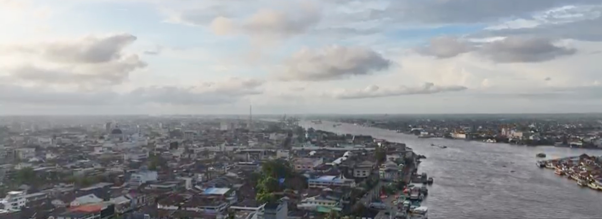
Pontianak City, located in the heart of West Kalimantan, Indonesia, is at a crossroads of climate and geographical challenges. Known for its unique position precisely on the equator, the city is not only a cultural and economic hub but also a region highly vulnerable to diverse flooding mechanisms, including coastal, pluvial, and fluvial floods. Without immediate and innovative intervention, the increasing severity and frequency of these events, exacerbated by climate change, threaten to undermine the region's development and safety. Recognizing this urgency, the FINCAPES project emerges as a pivotal initiative, employing evidence-based tools such as flood risk modeling to guide and inform effective policy choices.
Technological Innovation: Mapping the Future to Mitigate Flood Risks
FINCAPES is currently developing comprehensive flood risk models, involving an international team of experts from various fields. Central to the FINCAPES initiative is the deployment of cutting-edge technological tools designed to predict and manage flood risks effectively. Digital terrain models (DTMs), which provide detailed and accurate representations of the land surface minus any obstructions like vegetation and buildings, are crucial in understanding how water flows and accumulates during flood events. These models are integrated with robust hydrological and hydraulic modeling that simulates potential flood scenarios under different climate conditions.
By adhering to international guidelines and leveraging global best practices, the project ensures that the methodologies used are not only scientifically rigorous but also globally applicable and scalable. This technological framework facilitates the creation of reliable flood hazard maps, which are essential for planning and response activities, thereby enhancing the resilience of vulnerable communities. This collective expertise ensures that the flood risk modeling is not only scientifically rigorous but also tailored to the specific environmental and socio-economic contexts of Pontianak.
Policy Innovations: Shaping a Resilient Future Through Informed Decisions
The effectiveness of technological innovations in flood risk assessment is magnified when coupled with proactive policy-making. The flood risk maps and other data generated by FINCAPES provide a concrete basis for policy innovations in Pontianak and beyond. These tools offer policymakers a clear visualization of high-risk areas, informing critical decisions such as land use planning, infrastructure development, and community zoning laws.
Potential policy shifts influenced by the project’s findings include the formulation of new building regulations that require flood resilience measures, the design of evacuation routes and flood shelters, and the implementation of sustainable urban drainage systems that can mitigate the impact of pluvial floods. Moreover, these policy frameworks aim to enhance not only the physical but also the socio-economic resilience of the communities, ensuring that adaptation measures are inclusive and equitable.
As Pontianak and other similar regions around the world brace for the impacts of climate change, the role of technological innovation and policy reform becomes increasingly critical. The FINCAPES project exemplifies a proactive approach to disaster management, demonstrating how targeted scientific research combined with strategic policy initiatives can pave the way for a resilient future. Through its efforts, the project not only aims to safeguard Pontianak against imminent flood threats but also inspires a global paradigm shift in handling climate-induced challenges.